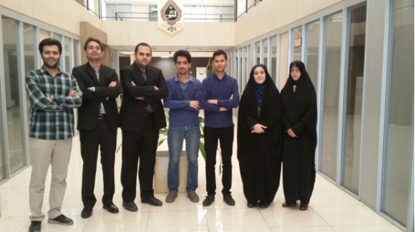
Researchers at Sharif University of Technology have designed a system which provides online information to farmers and farm managers, with the aim of increasing efficiency in agricultural productivity and helping the country’s agriculture industry thrive. The farm lands will benefit the system using improvement solutions suggested based on a comparison between their current and past conditions. Using the system, customers obtain valuable information tailored to meet requirements of each condition, including information on farm management, plant health, etc. Spatial data from agricultural lands extracted from satellite imagery, produced at a high speed and with acceptable accuracy, are used to plan strategies for individuals and organizations involved with agricultural activities.
A startup business (Satelarm) is formed based on the initial idea of managing water consumption, which is believed to effect the country dramatically in a foreseeable future. Water management is a global issue that forces even developed countries to heed the necessity of initiation of startups in the field. Considering Iran’s geography, it will be a significant advantage, if it has its strategies well-defined in time. One of the challenges in startups with innovative ideas with which the society is not very familiar, is to sell the practicality of the idea, and this is where it is believed the academic societies can play a role. To read more in Persian please visit here.

